
All regular season tournaments are single-day team events held on Saturdays. See 2026 rules for complete details and refund policy.
A dragon boat race will be taking place at Riverfront Park on AL River on Saturday, June 13, 2026. ALEA will be patrolling this area and asks that all boats proceed at IDLE SPEED only on Saturday from 7:00 A.M. – 4:30 P.M. Teams will be practicing for those races on Thursday – Friday. If you plan to fish in or beyond Riverfront Park, use extreme caution when traveling in and out of the area. Please review the provided diagram for information regarding the dragon boat race.
June 13, 2026
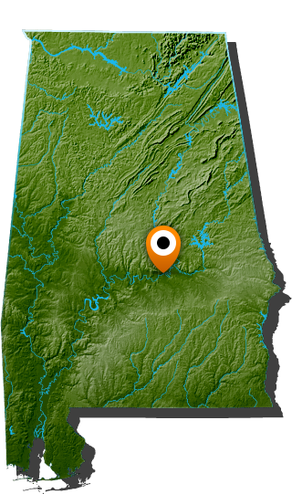
Cooter’s Pond
1844 Cooter’s Pond Road
Prattville, AL 36067
Launch will be at safe daylight.
Largemouth and Spotted Bass
Largemouth and Spotted Bass: 12 inches


The Alabama Bass Trail is a program of the Alabama Mountain Lakes Tourist Association.

©2026 Alabama Bass Trail | All Rights Reserved | Site by McComm